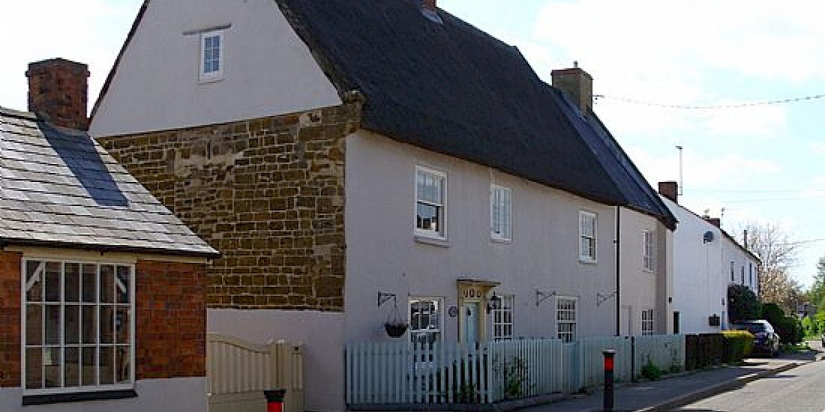
Cold Ashby is a village and civil parish in West Northamptonshire, located about 10 miles (16 km) south of Northampton, on the edge of the Northamptonshire uplands. The village is surrounded by rolling farmland, and is said to be the highest village in Northamptonshire, lying on the 200 metres (656 ft) contour line.
The British Ordnance Survey's first trig point, the triangular post used by surveyors, was erected on 18 April 1936 near Cold Ashby.
The village name means "Ash-tree farm/settlement" or "Aski's farm/settlement". "Cold" from its exposed situation.
The village population is mainly commuters and their families, although farming is important to the local economy. The village has its own bowls and cricket clubs, and is within the catchment area of the Guilsborough schools.
Cold Ashby Golf Centre can be found near the village.